From the start of the addition of background images to DPlot graphs, maps have been in mind. See here, for example.
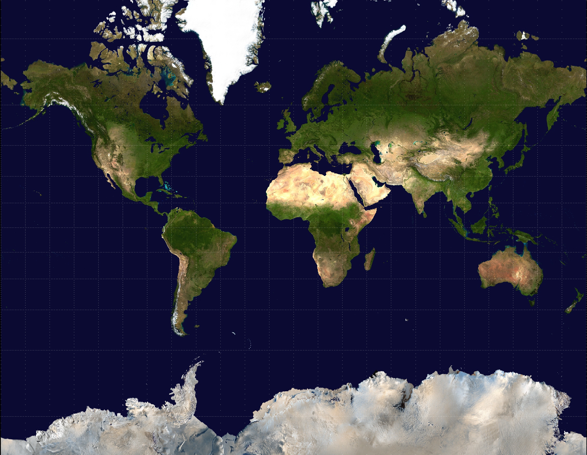
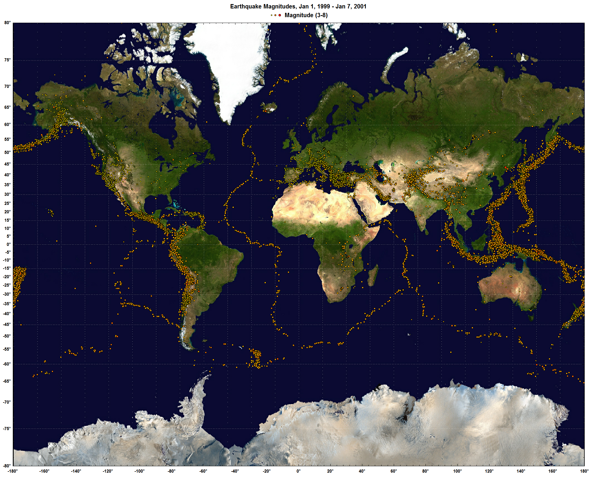
This blog post isn't so much about announcing a new DPlot feature as it is about pointing out a public domain resource that you may not be aware of. NASA has produced a whole-earth image using Mercator projection that is just about perfect for DPlot. That image is available here. Example usage is shown at the bottom of the Geographic Maps page and repeated here:
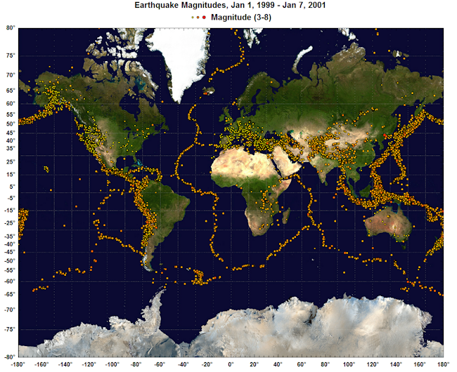
A larger version of this image is shown here (~3.4Mb).
For this particular image, use Options>Extents/Intervals/Size and set the X/Y extents to +180 and +80, respectively. And of course you'll want to use Mercator Projection for your plot's scale. For a subset of this particular image you'll need to either specify the top/left coordinates within DPlot (easy for X, not so easy for Y) or crop the image within your favorite image editor.
